How to Use iGS800 Bike Computer Navigation Function
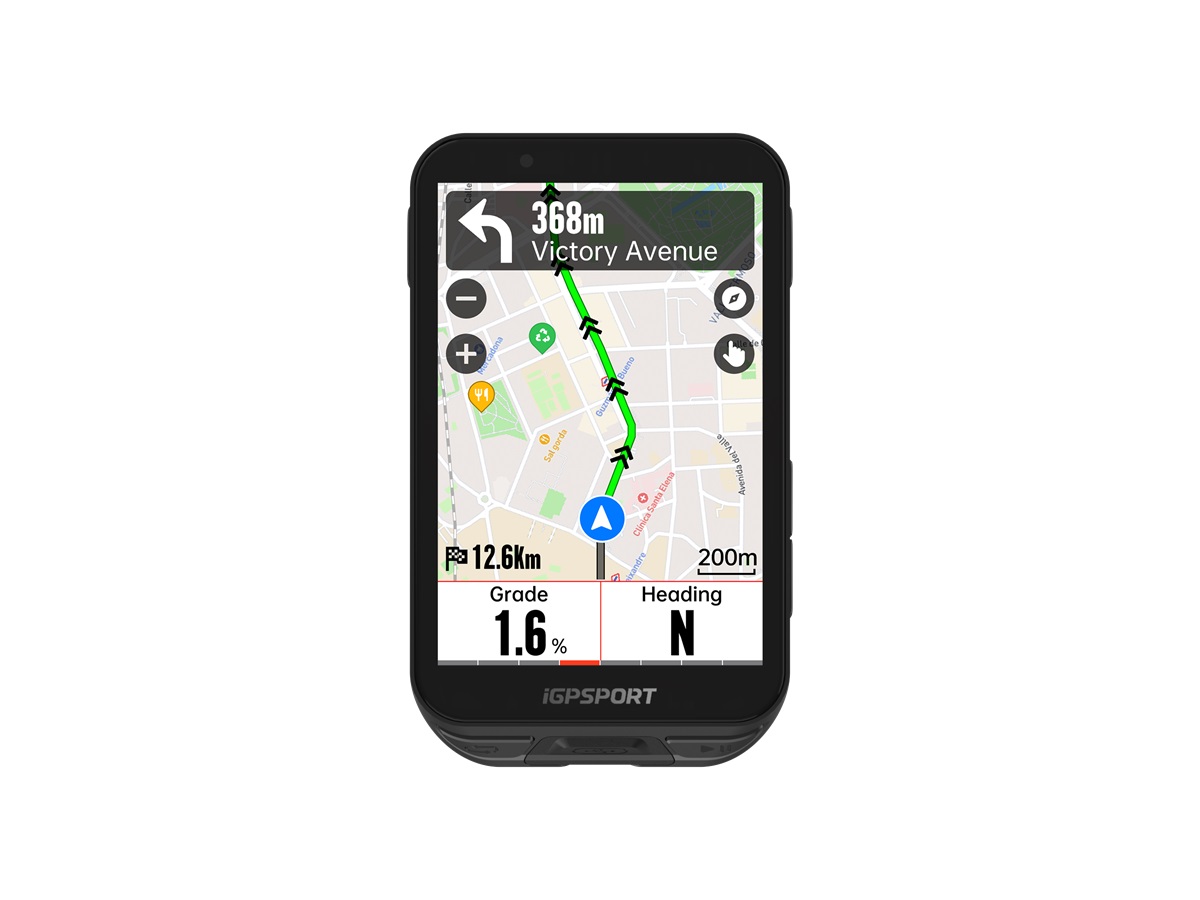
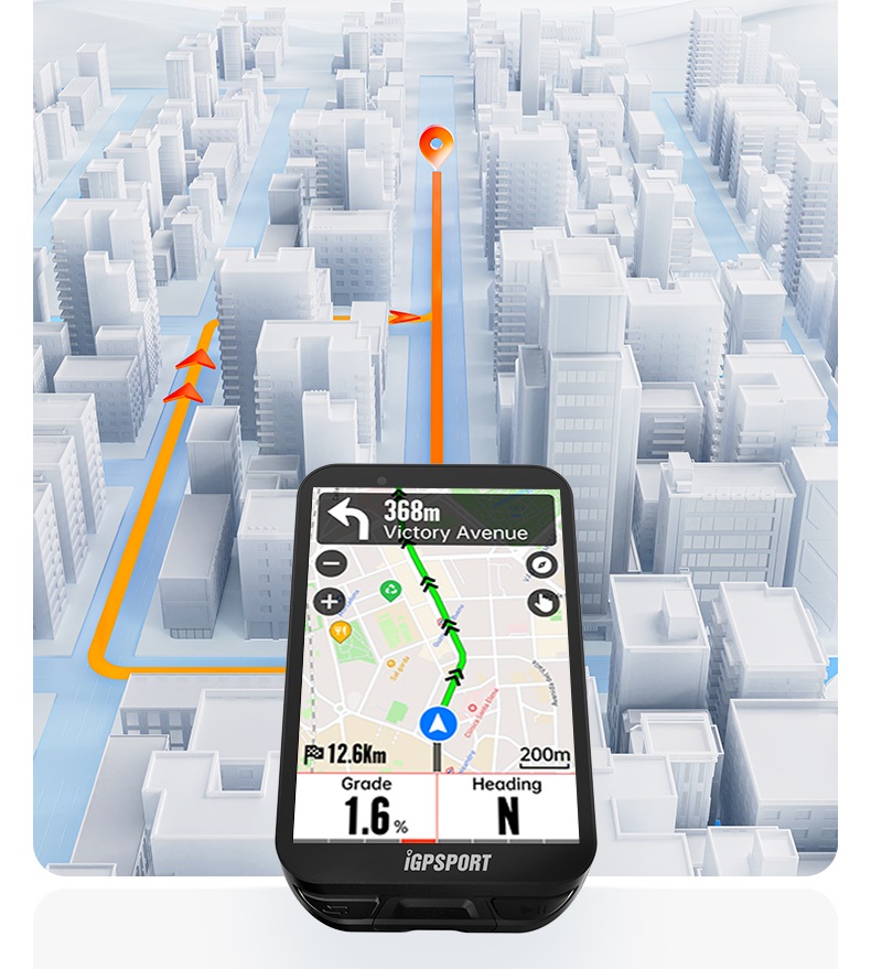
Navigation functions of a bike computer can assist the rider in finding your way during rides. iGS800 bike computer offers excellent advanced navigation features for cyclists. The device comes with pre-installed maps and has the capability of route mapping, turn-by-turn navigation, route planning, and offline navigation.
To use the navigation feature, it is required to set navigation well, complete GPS positioning and create locations & riding aid point firstly.
How to Create Locations?
Both iGS800 and the iGPSPORT APP can create locations.
Open the navigation page of the iGS800 bike computer and find the location you want to create on the map. Press and hold until a mark appears. Then there will be a pop-up window showing the latitude and longitude of the location. Click the icon in the upper right corner to enter the location. Click to save the location and finish location creating.

On iGPSPORT APP, open the Device Page > Device Functions > Locations, click the "+" sign in the upper right corner to enter the map page, select the required location to save it.
How to use Location Navigation?
Find the Saved Location in iGS800 navigation menu, select the location to be used and the road book from the current location to location points. The iGS800 will enter location navigation.
Conditions required for ensuring the location navigation available.
- The iGS800 has a map of the current location and location points;
- The iGS800 Router folder includes the corresponding database of local offline navigation;
- There are roads about 1km away from the saved location and the current location for riding;
- The distance between the current location and the location point is less than 100km;
- The location point and the user's current location are in the same map package;
- GPS positioning is complete;
How to create Navigation Pro Point?
To create Navigation Pro Point, you need to edit and add it in the created road book. Open any of my road books, click the three-dot icon in the upper right corner to select Navigation Pro Point, long press the map to add Navigation Pro Point,and select Navigation Pro Point to move the position and make a replacement. Click "Confirm" to save the Navigation Pro Point.
Setting Up Navigation
Find navigation settings on iGS800 bike computer. You can turn on or off the route replanning, turn prompt, elevation display.
Route re-planning: The device will plan the route back to the track of the original road book after off-track.
Turn prompt: prompt 500m in advance on navigation pages and 200m in advance on non-navigation pages.
Elevation display: Display the elevation data of the riding position when navigating and riding;
How to use iClimb?

After the user turns on iClimb in the ride mode, iGS800 will prompt within the 160 meters before entering a climbing route that with a slope greater than 3% and a slope length greater than 500m during navigation.